EPOS Platform User Guide
Welcome to the EPOS Platform! This guide is for end-users and will walk you through how to use the Platform to discover, visualize, and access the geospatial data services available in the catalogue.
Discovering Data
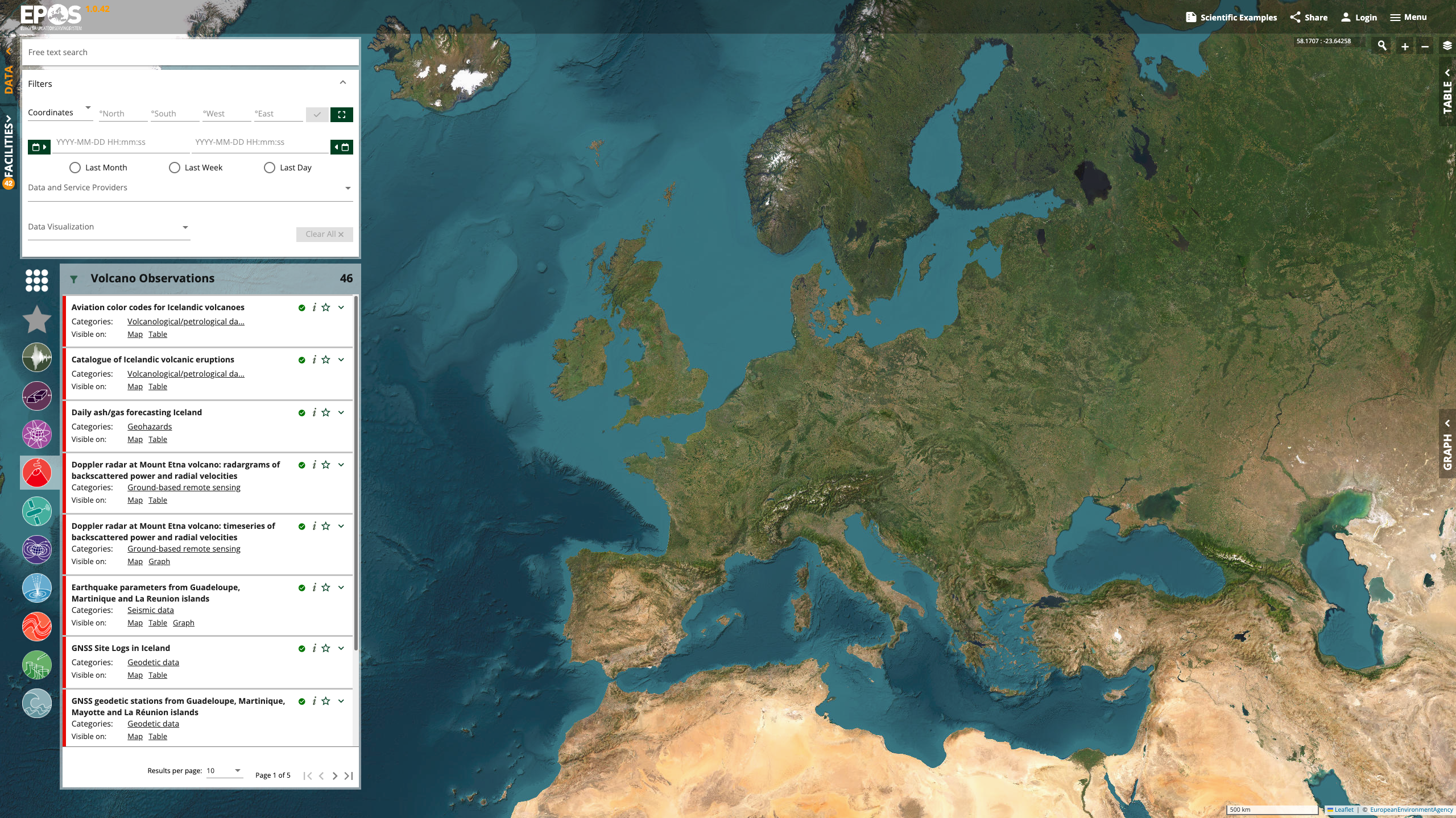
The EPOS Platform is designed to make it easy to find the data you're looking for. You can discover data by either searching or browsing.
Using the Search Bar
The most direct way to find data is to use the search bar at the top of the page. You can search by:
- Keywords: e.g., "seismology", "volcano"
- Service Name: If you know the name of the data service you're looking for.
- Description: The search will also match terms in the description of the services.
Filtering and Browsing
You can also browse the available services in the catalogue. The GUI will display a list of all available data services, which you can explore to see what's available.
Visualizing Data
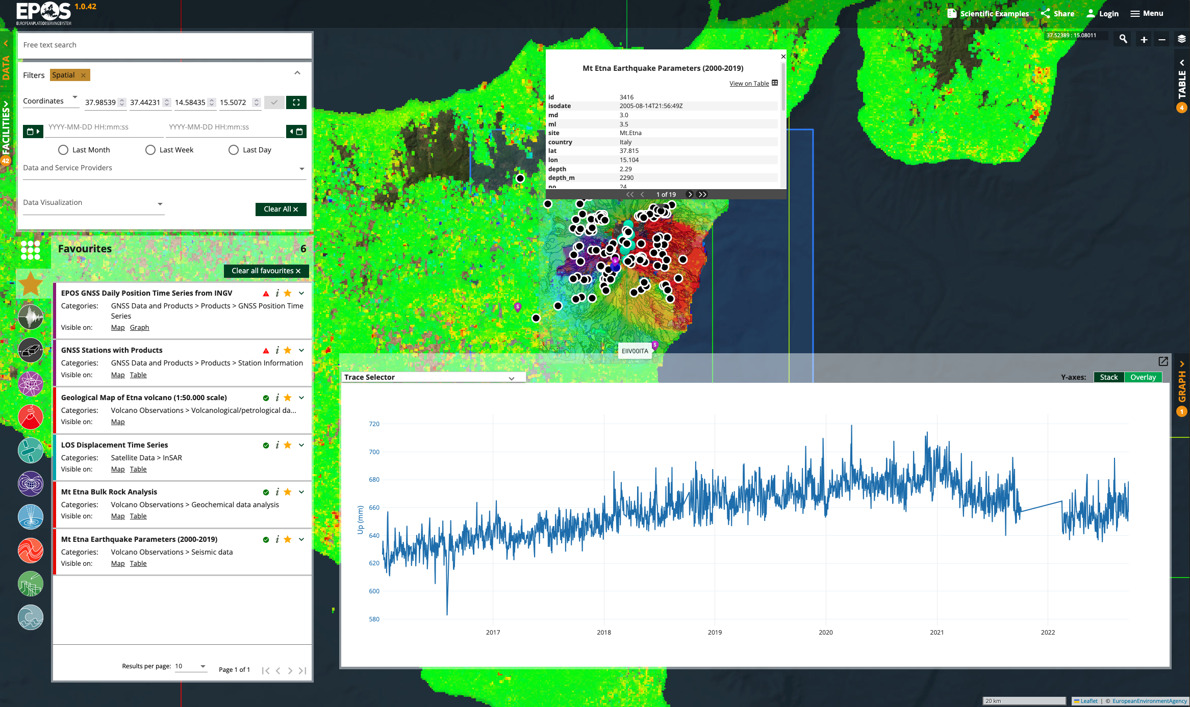
Once you've found a data service you're interested in, you can preview it directly on an interactive map.
The Map Interface
The map allows you to:
- Zoom and pan to explore the geographic area covered by the data.
- View data layers from the service directly on the map.
- Click on map features (like points or shapes) to get more information about them in a popup.
Accessing the Data
The EPOS Platform is a catalogue that points to the original data services. While you can preview the data on the map, you can also access the data service directly.
In the details for each service, you will find a link to the original Access URL or Endpoint URL. This will take you to the source of the data, where you can perform more advanced queries or download the raw data, depending on what the service provider offers.